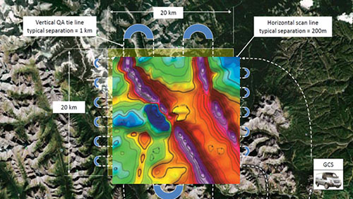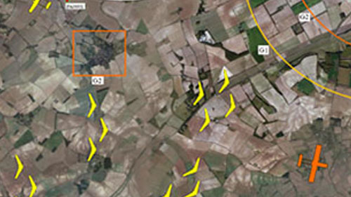
Using a formation of intelligent Unmanned Aircraft
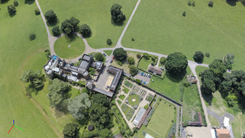
2D and 3D mapping across different terrain

Military and security applications
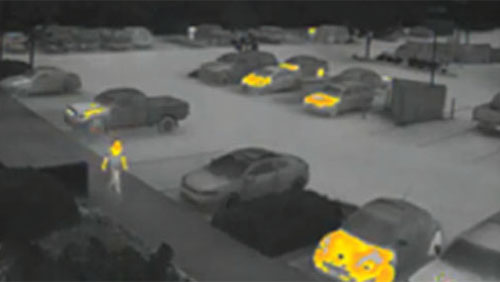
Monitoring and the detection of statistically significant anomalies
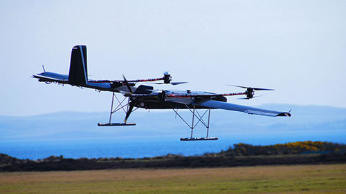
Humanitarian missions and support for disaster relief efforts
